Bridge to Nowhere
In an era of climate change, rising inequality and conflicting views on how to build the cities of the future, the specter of the American highway looms above them all.
by Nathan Stevens
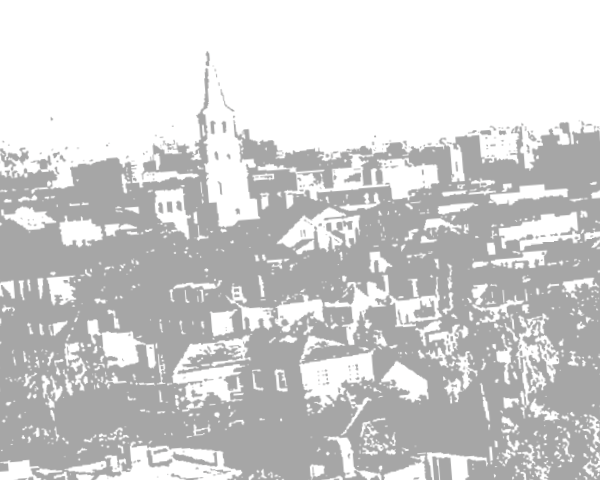
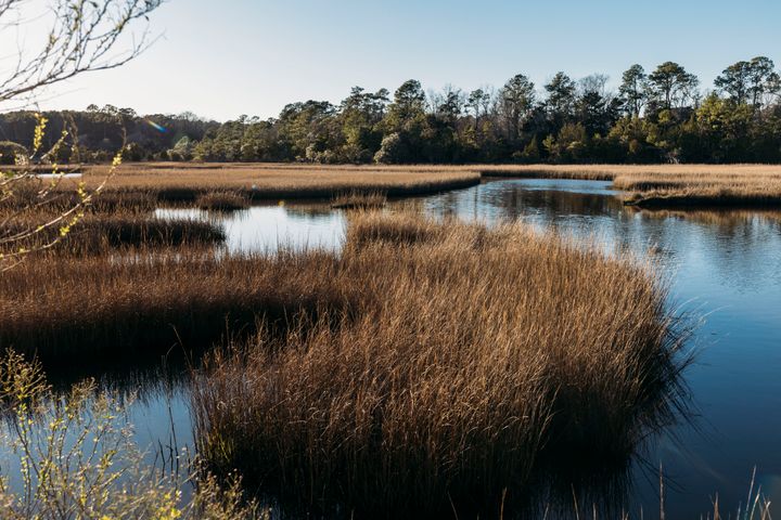
Governor’s Park is an all-purpose, utilitarian public space. There’s Grove cemetery to the south and Credit One Stadium, one of Charleston’s few true arenas, is within walking distance. The green space itself is a calm, rolling slice of the Lowcountry, pockets of marshes, plenty of palmetto fronds and signs that seem to ask “do we really need to warn you about gators?” dot the walking trails. Folks are friendly, bringing their dogs on jogs or overseeing rambunctious toddlers playing like tyrants across the grass.
Shame about the noise.
Yes, head to Governor’s Park at any time between 6:30 to 9 am or 3:30 to 5:30 pm, and you’ll be staying put a long while as caravan lines of cars and 18-wheelers filter overhead as the Mark Clark Expressway (I-526) bisects the park with long strands of concrete, steel and smog. On days with heavy trucking traffic, the expressway will transform into a ramp of smoke stacks, the myriad exhaust pipes of so many trucks cluttering the sky like the artwork to Pink Floyd’s Animals. In the early morning gloom, the concrete pillars rattle above the park, while a stretch of expressway is caged by long steel beams colored a garish electric blue reminiscent of a seasick Sonic the Hedgehog.
But it’s not the eyesore quality that has made the Mark Clark Expressway a lightning rod of controversy. In fact, the way it looks might be the least of the highway’s problems.
In an era of climate change, rising inequality and conflicting views on how to build the cities of the future, the specter of the American highway looms above them all. The highways built over the last century haven’t just changed the way Americans travel, but also the very landscapes of the cities they live in. Much in the same way cars spewing greenhouse gasses can warp the composition of the atmosphere, a highway can remold a city. And that reshaping can have ripple effects throughout a city.
The Mark Clark has been tagged with that classic public policy failure label “boondoggle.” But unlike projects opposed by environmentalists on grounds of biome degradation or fears of overspending by conservatives, the expressway has formed rare bipartisan vitriol.
The price tag is nearly as eyepopping as the blue steel with the planned eight-mile extension ballooning from initial estimates in the hundreds of millions to nearly $2 billion. The county has adjusted the approximate costs of the Mark Clark expansion a few times, pushing it down to a slightly less eye watering 1.78 billion in one estimate, which would still be five times the county’s annual budget. Officials are so invested because the Mark Clark serves as critical space and transportation for operations at South Carolina's busiest port, the Wando Welch Terminal. But, as with most things in the rapidly growing section of the Lowcountry, business, transit and housing are all butting up against each other.
The proposed expansion would create a 9½-mile, four-lane road from West Ashley, to Johns Island and then onto James Island with a connection to the end of the James Island connector at Folly Road. The plan is to alleviate current traffic woes and allow for the expressway to better serve the Wando Welch Terminal. This assumption is, however, based in a flawed theory. Public policy makers across the United States, along with departments of transit, constantly push for wider roads and more lanes to allow the flow of traffic to run more smoothly. However, this runs up against the principle of induced demand. As Field of Dreams put it “if you build it, they will come.”
Texas proves a perfect, discouraging, example of induced demand and the chaos it brings. The Katy freeway, linking western suburbs to Houston proper, is the world’s largest highway by lanes, a staggering, mammoth projects of miles and thousands of tons of concrete sprawling out across southern Texas. At 26 lanes at its widest, the freeway can hold a mindboggling number of cars. “Hold” being the correct word, because they sure ain’t going anywhere fast. Over a decade of expansion and the Katy Freeway has created worse traffic. According to Joe Cortright at City Commentary “the morning commute has increased by 25 minutes (or 30 percent) and the afternoon commute has increased by 23 minutes (or 55 percent).” More exit and entrance ramps, more communities with highway access, all lead to an increase of drivers, creating a positive feedback loop of more and more cars on more and more lanes. Though, Charleston’s city planners seem to conspicuously ignore this theory.
Highways are also a consistent weapon used against BIPOC and working-class communities. Joseph F. DiMento’s “Stent (or Dagger?) in the Heart of Town” looked at the effect of highway construction in Syracuse, New York. “Syracuse did not make a priority the preservation of historical buildings and neighborhoods,” writes DiMento, and the timing of Syracuse’s highway expansion mirror’s Austin’s own construction, both of them beginning in the 1940s. This is helpful as an analogous example of the possible effects of highway construction through a city, which, for Syracuse, found the city demolishing whole wards of the city for more highway space. A follow up article, “The Role of Highways in American Poverty” found that “between 1940 and 2000, the population of the city of Syracuse shrank 30 percent, from about 205,000 to 147,000.”
Texas, is, again a perfectly grotesque example. Highway I-35 runs through and bisects Austin, Texas serving as a physical boundary between east and west Austin, with ramifications that stretch pass traffic.
In my own research with the city of Austin and University of Colorado, I found that the creation of i-35 led to an uneven distribution of services, ranging from transit to health care to educational resources. comparing the divide unveils a stark reality. On average a west Austinite will make nearly 30,000 more dollars than an east Austinite, live five years longer and have a three percent less chance of having a disability.
And this was not made by mistake.
Austin’s own work on I-35 started in 1928 with the city’s master plan, which was deeply concerned with racial segregation. To quote the plan, “In our studies in Austin we have found that the negroes are present in small numbers, in practically all sections of the city, excepting the area just east of East Avenue and south of the City Cemetery. It is our recommendation that the nearest approach to the solution of the race segregation problem will (be) the recommendation of this district as a negro district; and that all facilities and conveniences be provided the negroes in this district, as an incentive to draw the negro population to this area.”
Charleston itself has a number of Stents/daggers through traditionally BIPOC neighborhoods. The great concrete snakes winding around North Charleston through and around Rosemount or Charleston Heights constricted on both sides by a highway and the deeply pedestrian hostile Spurill Avenue. Mark Clark threatens to exact a similar toll to the communities it bisects. Study after study has proved that proximity to a highway has a myriad of negative health outcomes, from the air pollution increasing asthma rates to decreased quality of sleep thanks to noise pollution. Charleston, stubbornly, refuses to invest in public transit infrastructure and pedestrian safety, instead following the same foolish route as Texas, spending ever greater sums for worse products.
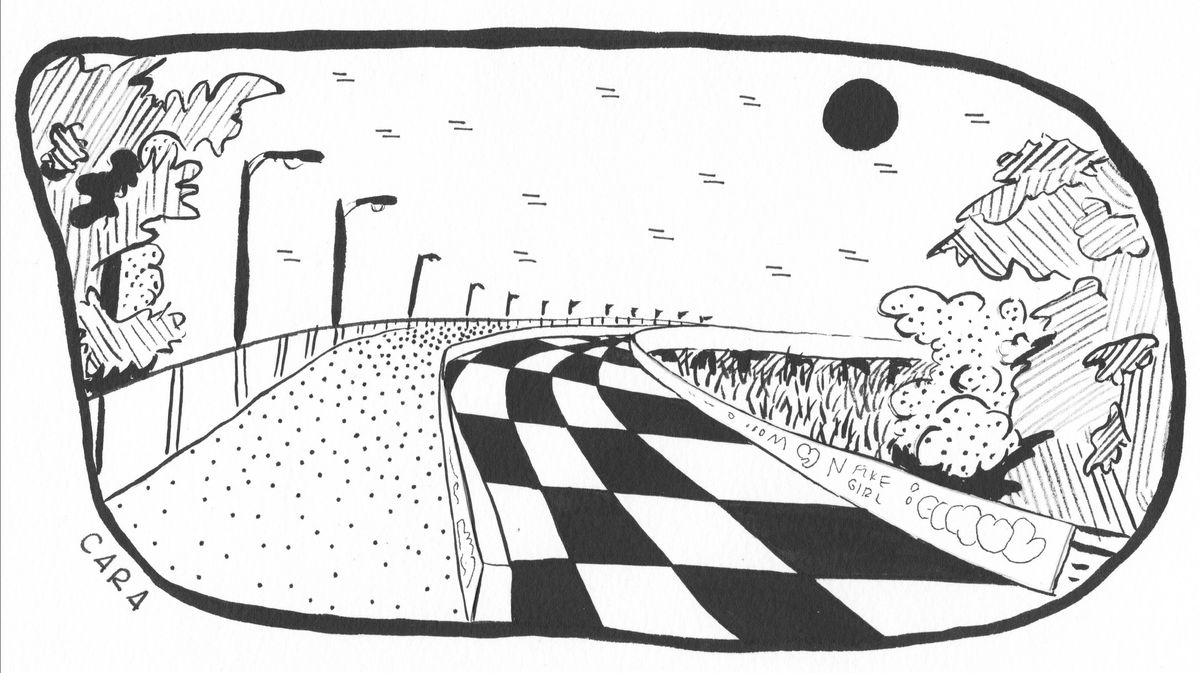
In Charleston’s NoMo there is the “bridge to nowhere,” a proposed road to a never built neighborhood that came to an end when the economy crashed in the late ‘00s. Now it only serves as a surreal detour in the marshland, a bridge of wide concrete that suddenly ends in a patch of rough grass and clover. The Mark Clark Expressway is already built and no clover will overrun its concrete until Charleston itself falls. But the current boondoggle might lead to the same result. A bridge to displacement, a bridge to climate change, a bridge to wasted money. A bridge to nowhere.
Resources
DiMento, Joseph F. Stent. 2009 (or Dagger?) in the Heart of Town: Urban Freeways in Syracuse, 1944–1967. University of California-Irvine No. 2009-16
Semuels, Alana. 2016. The Role of Highways in American Poverty. The Atlantic.